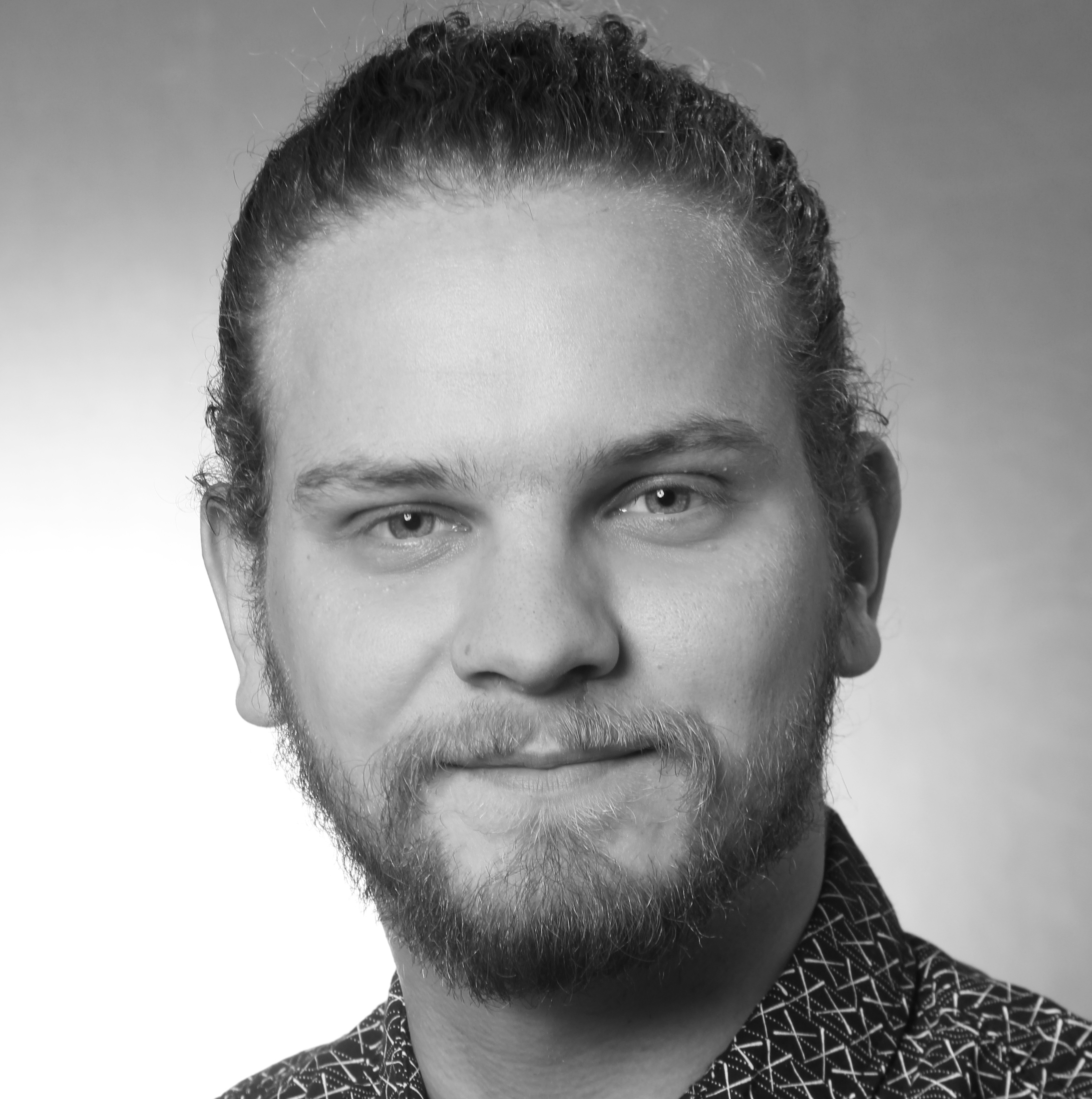
About me
I am working on a range of topics concerned with environmental change and the associated coping strategies of our societies. I have been studying Geography and Political Sciences of the MENA region at the University of Marburg, focusing on Remote Sensing, Climatology, and Hydrogeography. Mainly, I use R-spatial packages for analysis and visualization of geospatial data. With my Data Science skills I have helped teams in the development cooperation sector to generate information for better decision making. I advocate for the use of OpenSource technologies to democratize access to both tools and data. I offer freelance consulting services using R and Python for reproducible analysis of spatial data.
Toolkit
- R
- R Markdown
- Quarto
- Python
- Shiny
- Docker
- Data Analysis
- Machine Learning
- Geographic Information System
- PostgreSQL
- Bash
How can I help you?
If your are looking for an expert to help your team transition towards the usage of OpenSource software and principles of reproducibility let’s have a talk to discuss your application:
- Efficient OpenSource-based geospatial analysis workflows
- Usage of machine learning to generate insights from remote sensing data
- Building tools based on the principles of reproduciblity and parameterized reporting
- Establishment of databases and dashboards to let everyone in your organization explore their data
